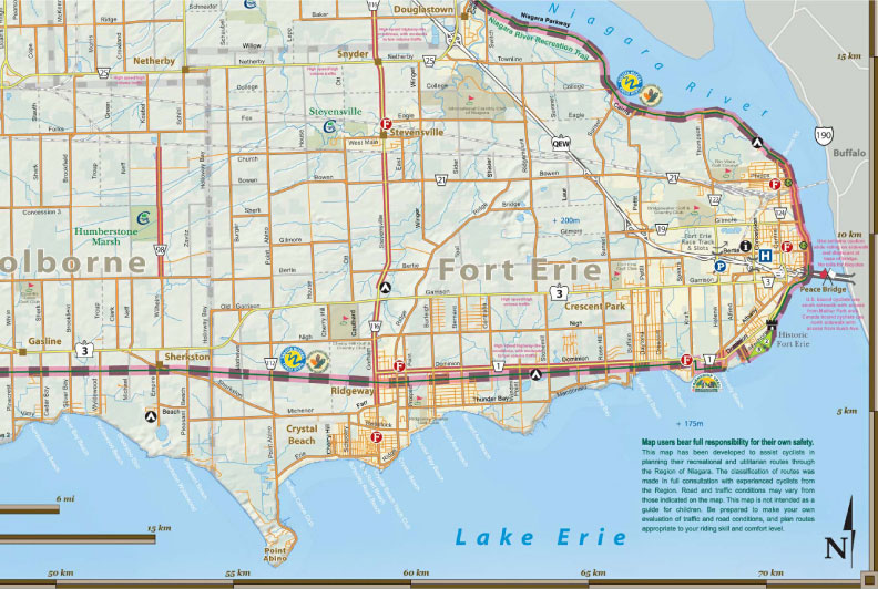
Bike Tours Tour 5

Although relatively long at 73 kilometres ( 45 miles ), this is a rewarding tour as it offers a thorough overview of Niagara including the Niagara Parkway, farmlands above and below the escarpment, as well as a section along the Welland Canal.
The Port Robinson Ferry
On August 24, 1974, the downbound ship Steelton, crashed into the vertical-lift bridge at Port Robinson before it was fully raised. The village, which straddles the canal, was effectively cut in half. Rather than building a new bridge, a passenger ferry was installed that has operated ever since. The Town of Thorold is responsible for managing the ferry.
The highlight of this tour is a (free) crossing of the Welland Canal on Niagara's only ferry.
The suggested starting point is at Queenston Heights Park, where there is ample parking. Follow the tour in a clockwise directions as shown on the map.
Proceed along the Niagara Recreational Trail until Chippewa. Cross the bridge and turn onto Main Street, which becomes Lyons Creek Road.
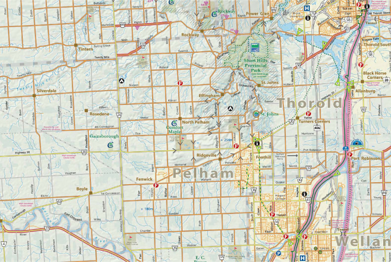
Note that at about 21 kilometres ( 13 miles ), the left turn onto Beck Road is easy to miss, as is the left turn (actually a fork) onto Lyons Creek Road at about kilometre 29 (mile 18). Ignore the No Exit sign at the corner of Morris Road and Lyons Creek Road and proceed; you can carry you bike across the railway tracks. At the next intersection (Matthews Road) is a historical marker commemorating the Battle of Cook's Mills, which took place here in 1814.
When you reach the Welland Canal along Biggar Road, take a moment to see how the Welland River is diverted under the Welland Canal by the use of siphons, so that their waters do not mix.
When you reach Port Robinson, turn left on Bridge Street for the ferry. If you are with a large group note that the ferry only has a capacity of six people. (it does not take cars and does not operate during the mid-winter months i.e. when the Canal is frozen). The Knockerheads Tavern at kilometre 41 (mile 25.4) is a good place for a rest while you await the ferry.
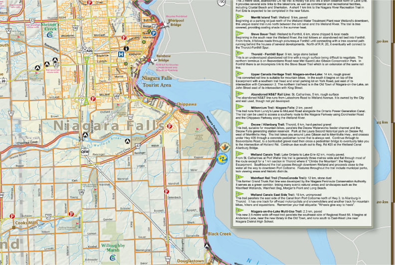
To get through Thorold:
-turn left off Beaverdams road onto Pine Street-
-turn right onto Richmond Street-
-turn right onto Lynden Street (at beer store)
-jog right, then left onto Government Road which is beside the Canal and follow it north.
The Lock 3 Museum Complex at kilometre 57 (mile 35.3) is an excellent place for a rest, nourishment, and to watch giant ships move through the lock. The steel deck on the Homer Bridge crossing at kilometre 58 ( mile 36 ) is treacherous. We strongly recommend that you walk your bike across.
An alternate, and pleasant, ending to this route is to proceed along Queenston Road until Concession 6 at which point you turn right, followed by a left on York Road. Soon you will see the magnificent edifice of Chateau des Charmes winery with its beckoning tasting rooms.
At kilometre 71 ( mile 44 ) take the bike pathway, which is about 300 metres before the intersection of York Road and the Niagara Parkway, for the final climb up the escarpment. We hope your tired legs make it.
 |
 |
 |
 |
 |
 |
 |
 |
 |